A road sign, easy to miss if you’re checking a phone instead of the windscreen, and then the highway’s 4 lanes fold down into 2, then effectively one, and the towns get smaller and further apart.
From Jaipur
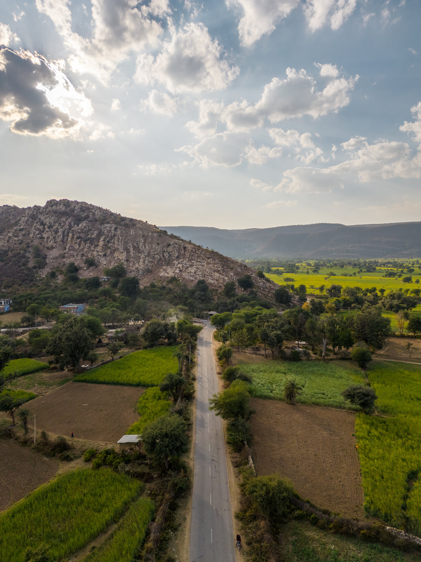
NH248 covers the ~110 to 116 km from Jaipur in around 2 to 3 hours, threading through smaller Alwar district towns well clear of the busier route toward Sariska Gate. Traffic thins noticeably past the halfway point.
From Delhi
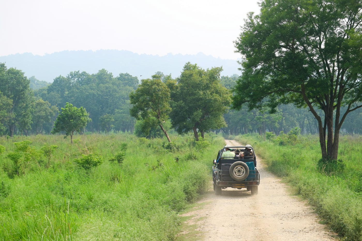
The Delhi–Mumbai Expressway now runs through this stretch of Rajasthan, bringing Tehla within around 4 hours of Delhi by road, quicker than the old NH48 route through Rajgarh used to be.
Sariska Gate is still the shorter drive from the capital, and that extra hour on the road keeps a lot of casual day traffic away from Tehla entirely.
Rail & Air
Rajgarh is the nearest railhead, ~25 km out, with Alwar Junction a wider ~37 km away serving the broader Sariska region. Jaipur International Airport, ~108 to 122 km depending on the route taken, remains the closest airport.
Arrival
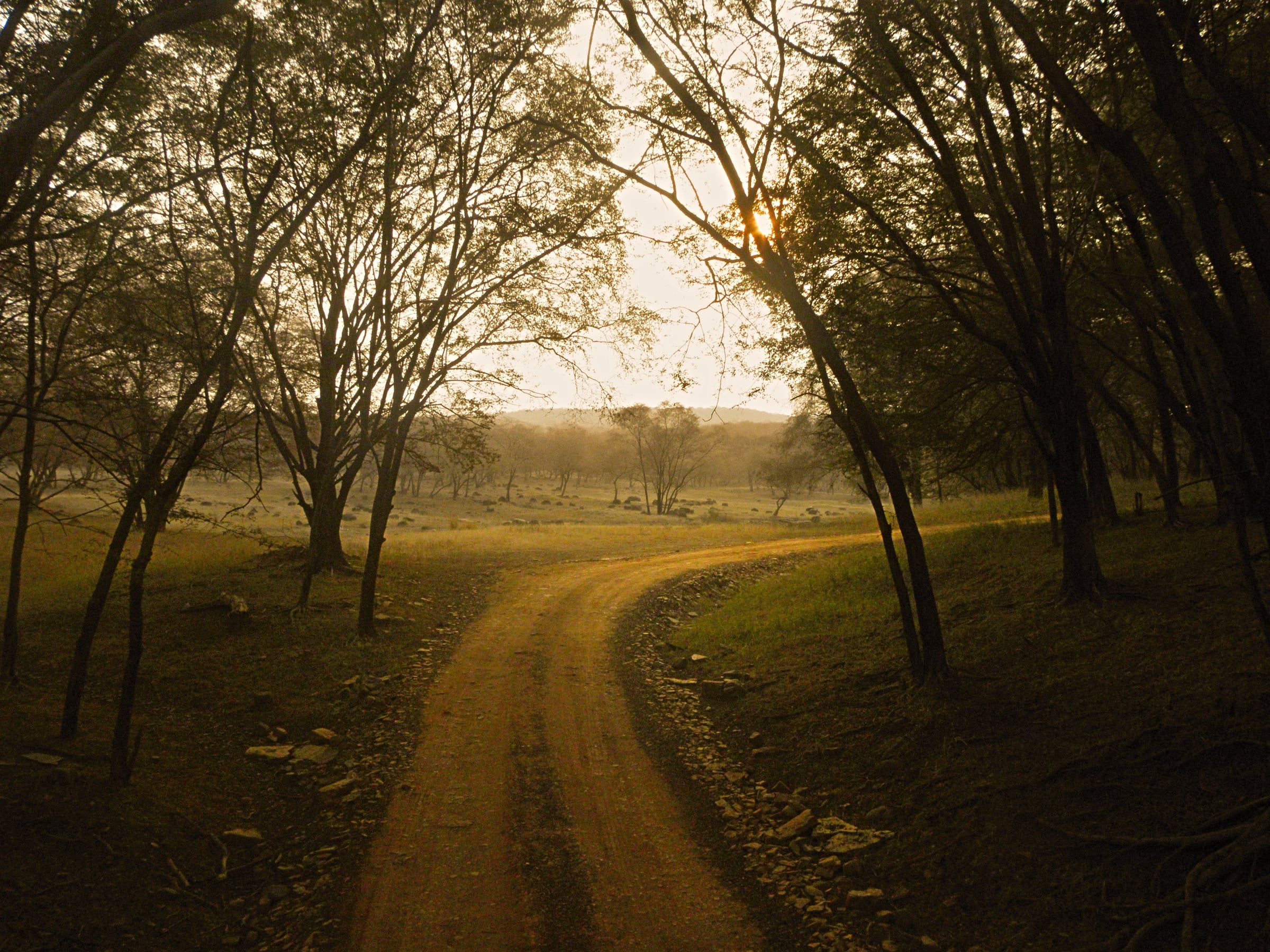
Fields give way to scrub. Scrub gives way to forest. Somewhere in that last stretch, without a clear line to mark it, the drive stops being a commute and starts being an arrival, tree cover thickening overhead until the light itself changes colour.
How to Reach the Camp_ecbc8f8a.png)